Description
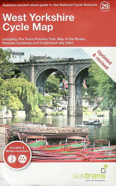
This pocket sized, folded map of the National Cycle Network includes clearly mapped on-road and traffic-free paths, easy to read contours and detailed town insets. 1:110,000 scale; folded 155mm x 99mm; flat 792mm x 630mm. This map includes the Trans Pennine Trail, Way of the Roses, Pennine Cycleway, and 5 individual day rides. Printed on water resistant paper.
Details
- Author: Sustrans
- Publisher: Cordee
- Format: Paperback
- Publication Date: 30/07/2019
- ISBN: 9781910845622
- B-Code: B046529
- Illustrated: Sheet map
- Dimensions: 155x99mm
Size


