Description
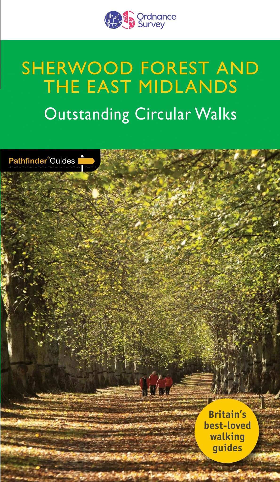
28 mapped walks ranging in length from 3.5 miles to 10 miles across the region comprising Nottinghamshire, Leicestershire, Rutland and Northamptonshire. Accompanying the route text of each walk is an OS Explorer map extract highlighting the route, GPS references of the main route waypoints, an introduction to the area covered on the walk and a key facts panel providing useful walk details.
Details
- Author: Crimson Publishing & Ordnance Survey
- Publisher: Ordnance Survey Various
- Format: Paperback
- Publication Date: 07/01/2019
- ISBN: 9780319091098
- B-Code: B065863
- Illustrated:
- Pages: 96
- Dimensions: 228x132mm
Size


